Door County is a peninsula north of Green Bay, Wisconsin. It is a well known tourist trap with little towns and bays filled with restaurants galleries, and shops. Although there are a lot of places closed due to covid, most are still open, just with rules about distance and masks. But out on the beaches, there were few masks other than ours. We stopped at several bays to see the watercraft, everything from paddle boards to schooners. We did have to hit one of the cheese shops. These folk sure know cheese.
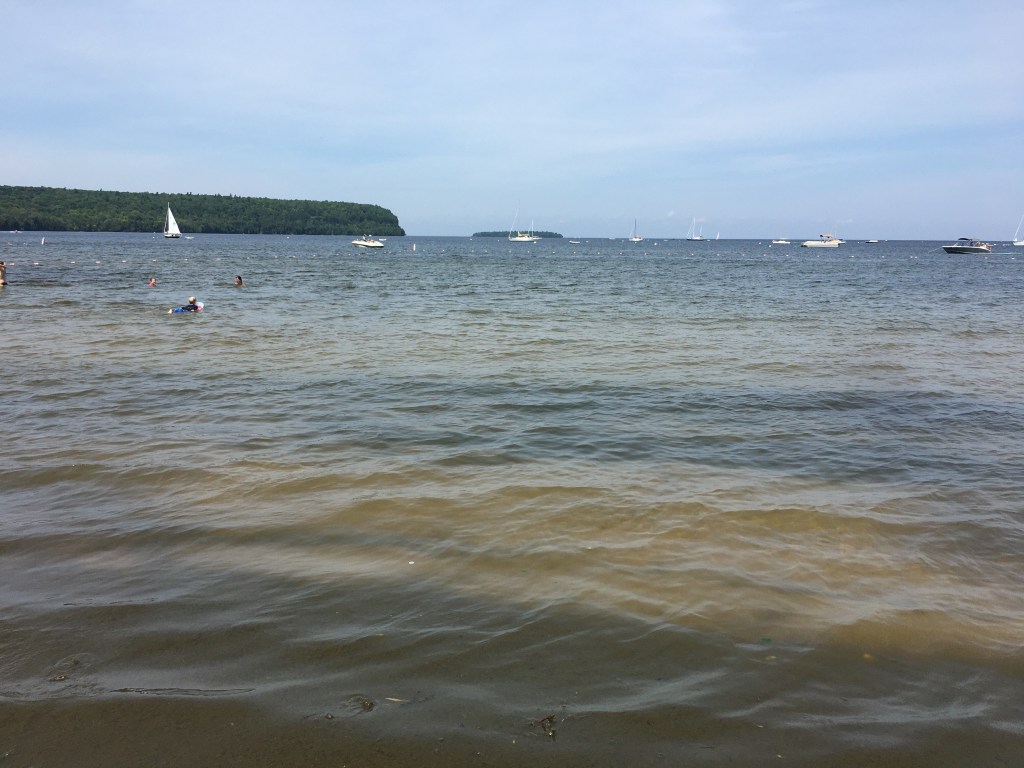
The bay in Ephraim 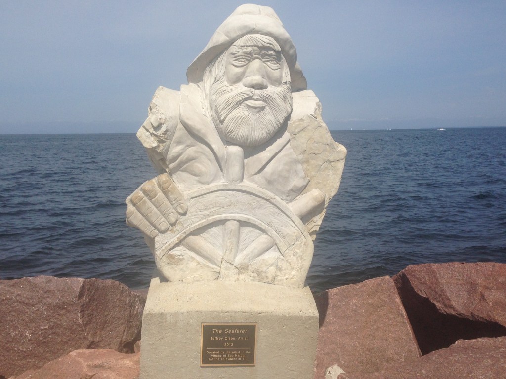
A statue in Egg Harbor
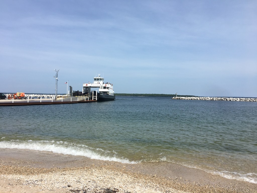
The ferry to Washington Island 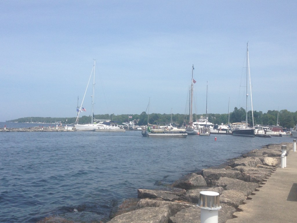
Sister Bay