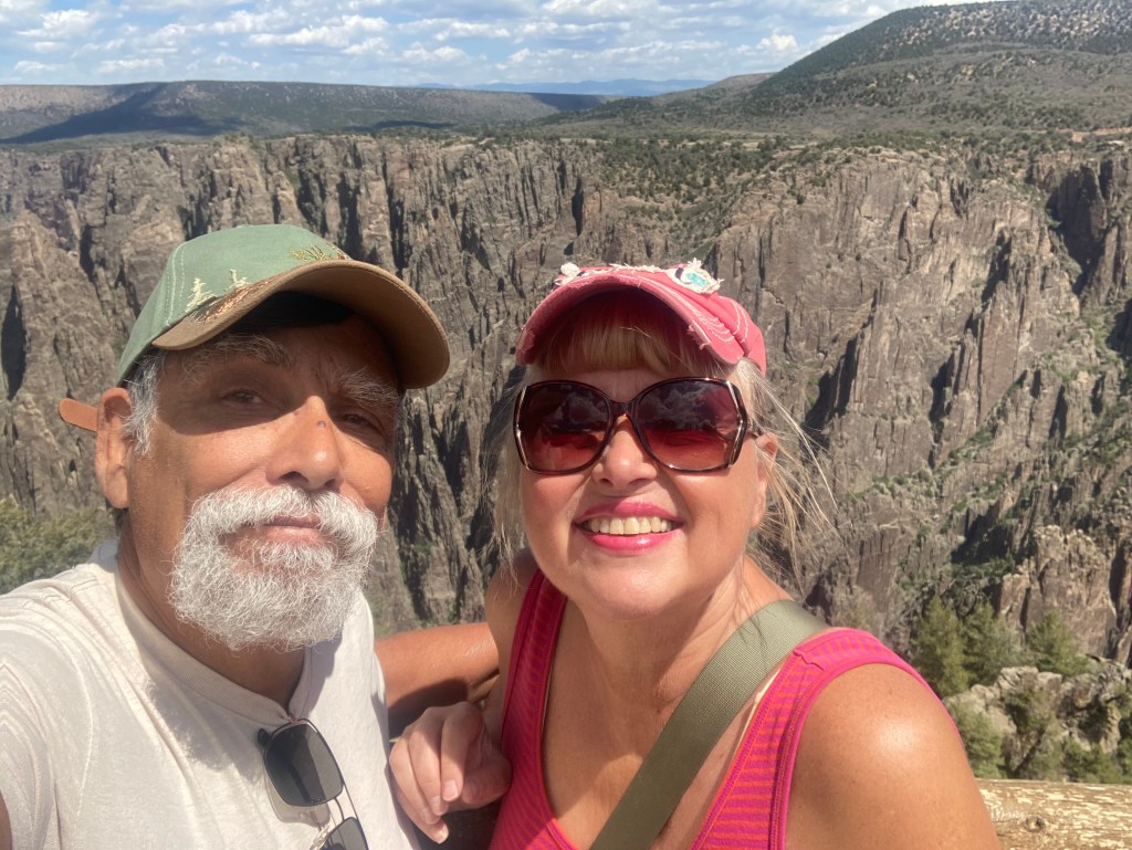
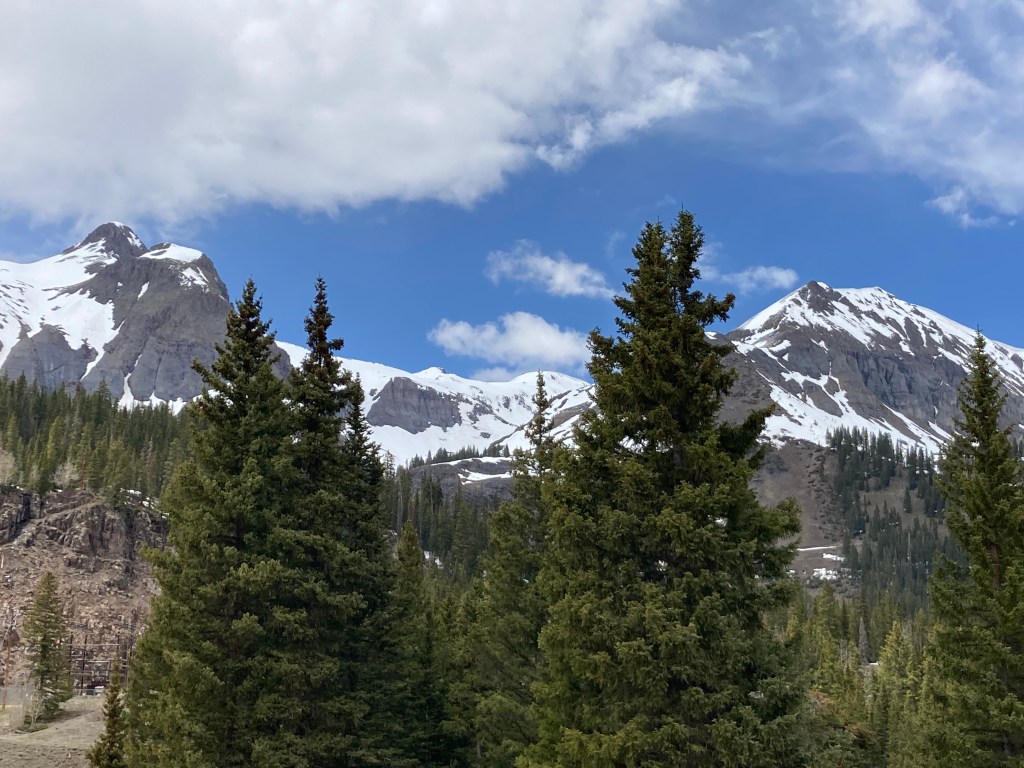
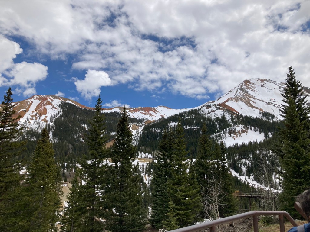
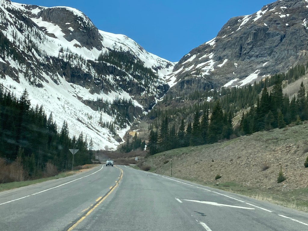
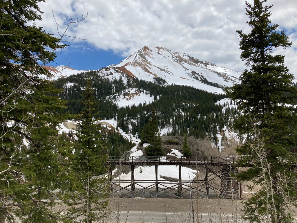
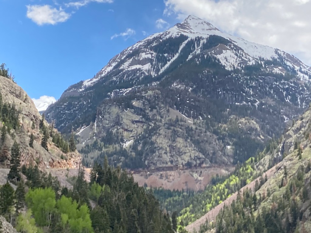
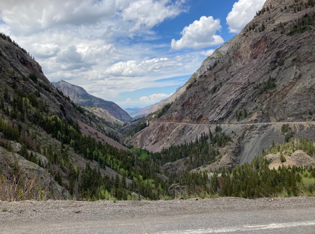
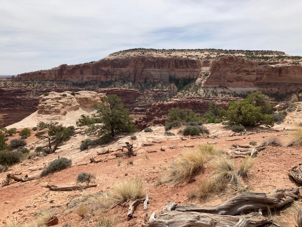
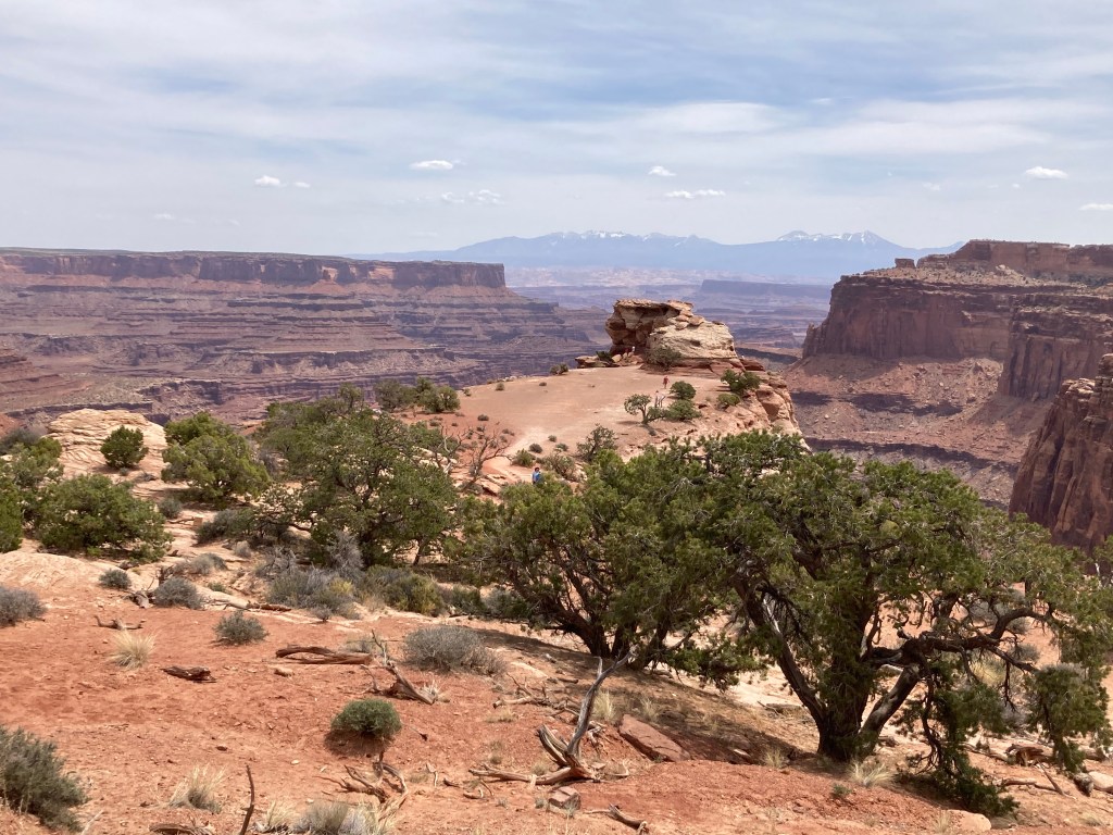
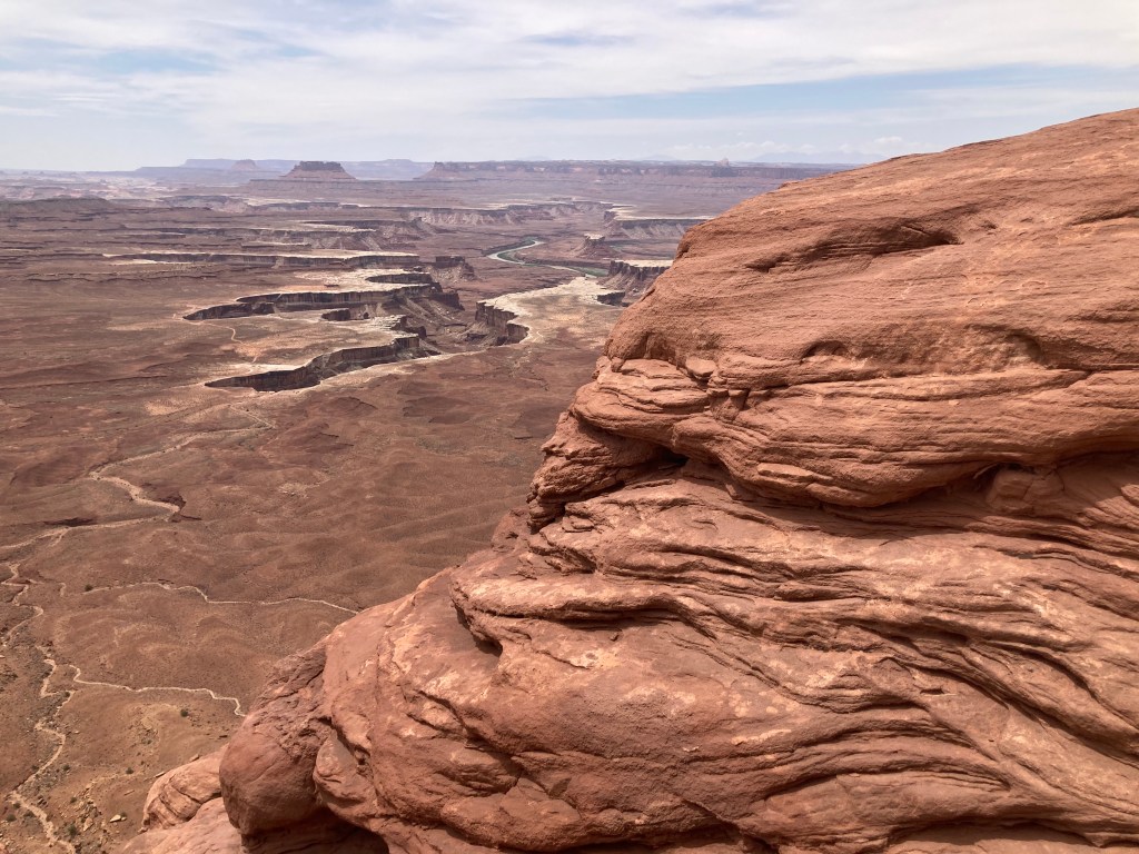
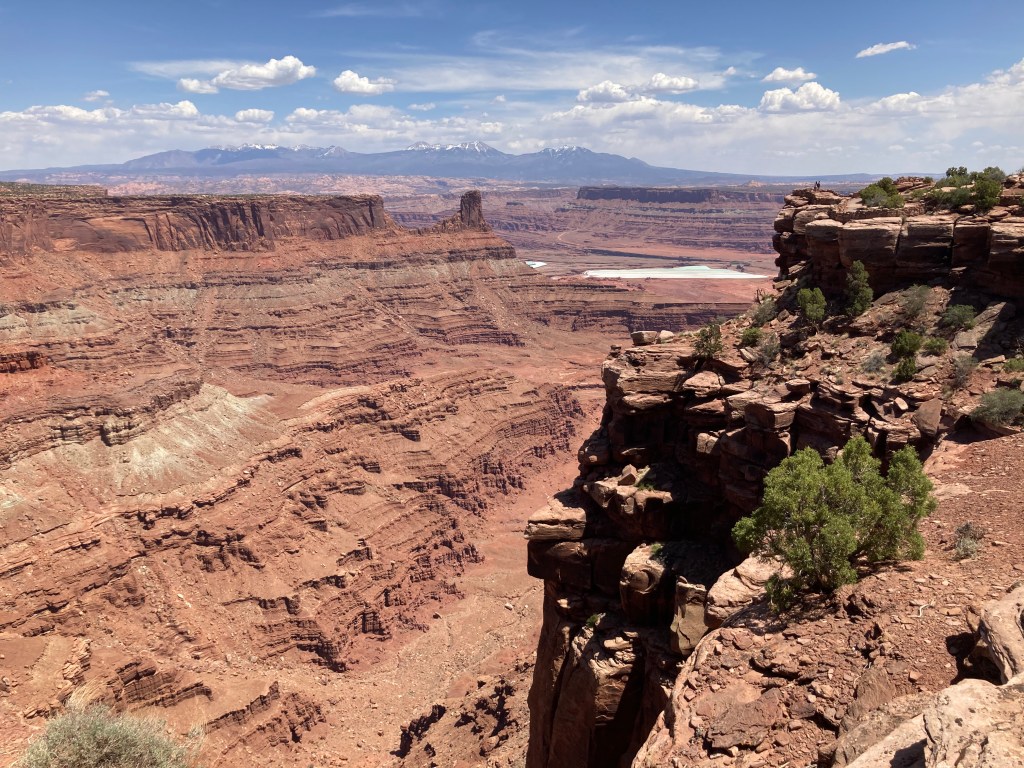
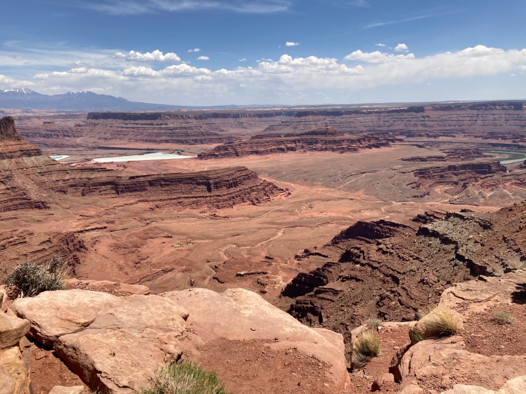
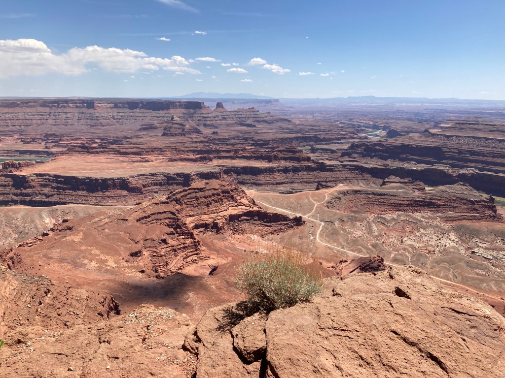
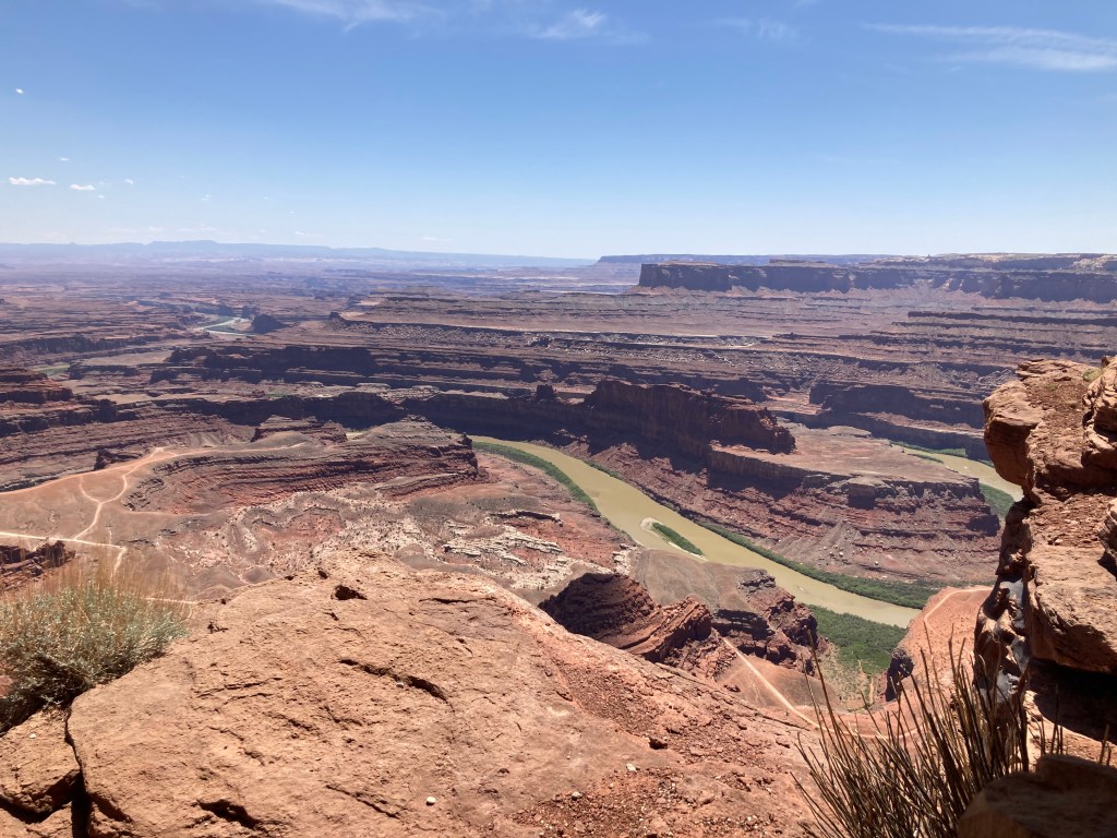
In 1891, the first train on the newly built cog railway reached the summit on Pikes Peak. Even after all the improvements made over 126 years of operation, in 2018, the cog was shut down for a major overhaul of track, equipment, and infrastructure. On May 27th, the first ride of the new railway reached the summit. We were lucky enough to get tickets for the last run of the day on the 29th. Even though overcast, the views were awesome. At the top, 14115 feet high, the temperature was brisk at 30 degrees. Also, the air is quite thin and we walked slowly around the walkway at the new visitors center. Then we descended thru thunder, lightning, and some hail.
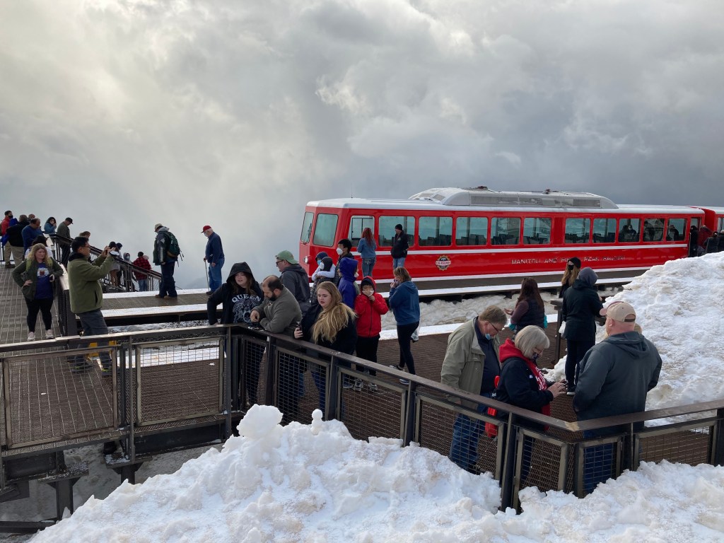
Arrived at the top 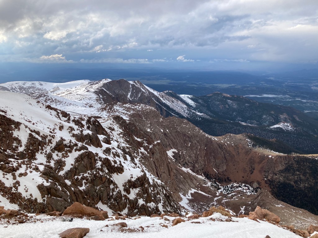
Sending on earth above the clouds 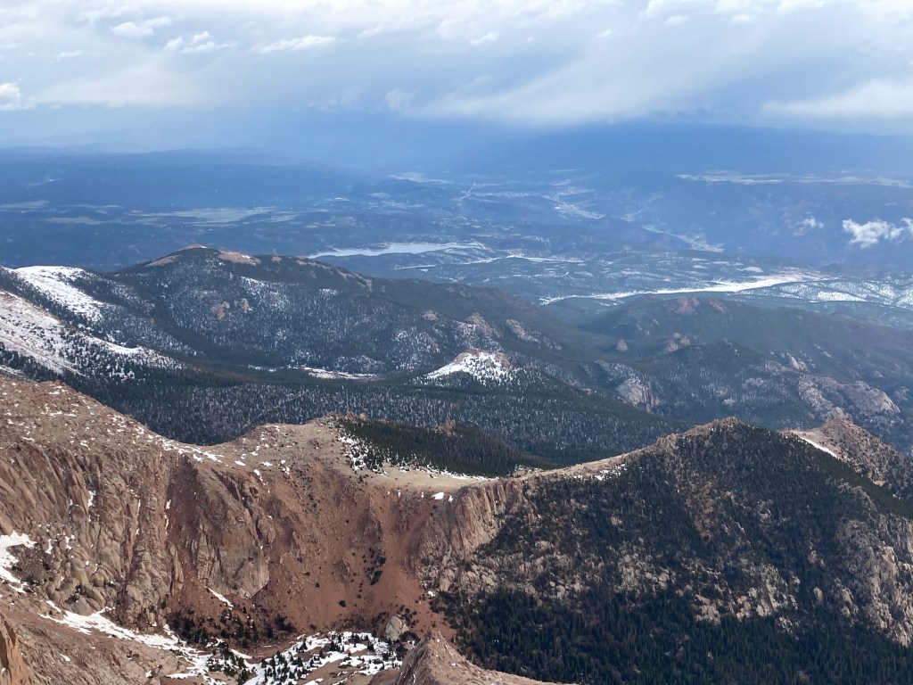
Colorado Springs out in the distance

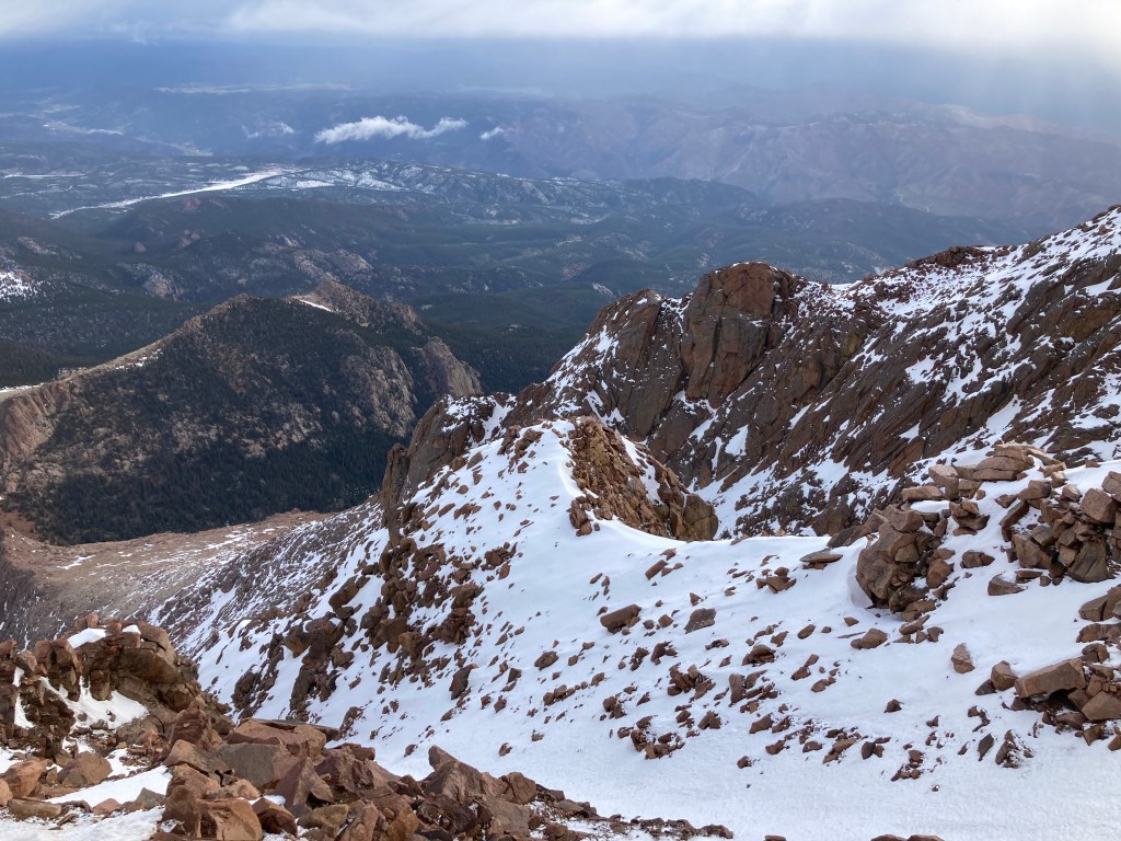
A storm approaching the peak 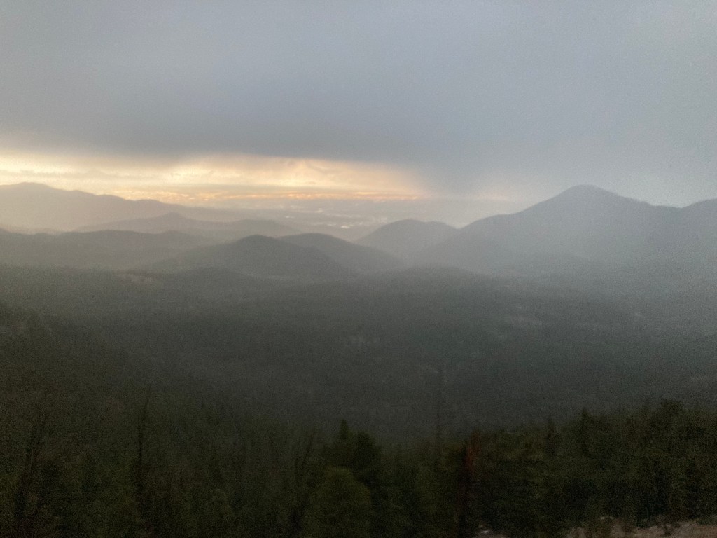
Thunder hail going down